Parksville Pathway
Project Update: July 2026
The City is currently working through permitting and timelines with the province, however we don't have any updates or timeline estimates at this time. Please check back on this page or through the City's social media feeds for future updates.
The Parksville Pathway project is part of a larger initiative to enhance accessible pedestrian connectivity in the City. The project involves collaboration with The Nature Trust of British Columbia and their partners in creating a pathway on land owned by The Nature Trust of BC and the City within the traditional territories of the Coast Salish, Qualicum and Snaw-Naw-As First Nations.
This project was identified by the City in the 2013 Official Community Plan as a key objective and included in the 2016 Master Transportation Plan and the 2019 Parks, Trail and Open Spaces Master Plan for future pathway connectivity.
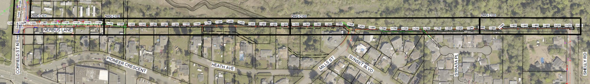
The goal of the pathway project is to connect Parksville Community Park to the north end of Shelly Road and the trailhead to The Nature Trust of BC property. The pathway design will provide passive recreation with natural and cultural education experiences weaved throughout the route using local building materials, art and culturally appropriate interpretive signage. The pathway will be designed to respond to the varying environmental constraints along the route, minimize impacts to the surrounding lands and support improvements and protection of the habitat. The pathway between Nerbus Lane and Shelly Road will be permeable and not impact natural stormwater infiltration. At the west end of the pathway, the design will continue with an accessible route along the Nerbus Lane road right-of-way to Corfield Street and provide a crosswalk connecting to a path into Parksville Community Park. On the east end of the pathway, the design will formalize the parking area and create a suitable trailhead for The Nature Trust of BC property, as well as the new pathway.
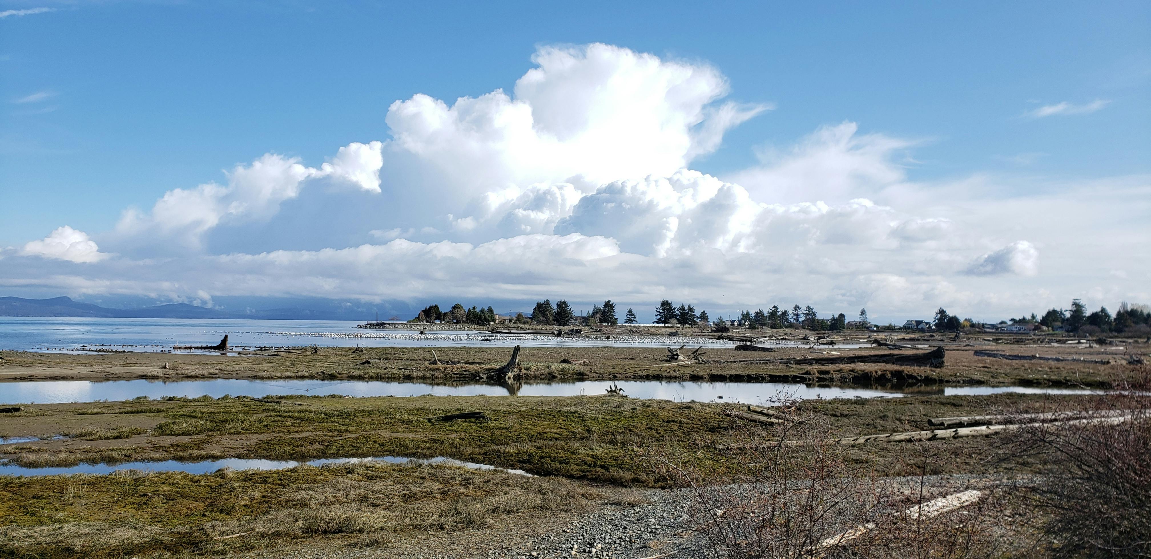
An environmental impact assessment of the route was completed in 2021 by WSP Canada Inc which identified environmental constraints, next steps, and recommendations for developing a pathway between Nerbus Lane and Shelly Road. The project will formalize a route that is currently used by people traversing along Nerbus Lane into lands owned by The Nature Trust of BC, which include the Englishman River estuary, and through to the north end of Shelly Road. The project area is within the Parksville-Qualicum Wildlife Management Area which is managed by the British Columbia Ministry of Forests, Lands, Natural Resource Operations and Rural Development.
The route has been in existence since the 1970s and is currently informal and unmaintained. The pathway route has been confirmed over the property owned by The Nature Trust of BC through a statutory right-of-way specifically for the development of a pedestrian pathway. The route is about 1,100 metres in length and passes through sensitive riparian and estuarine areas. A second statutory right-of-way agreement exists for municipal sewer utilities running below ground from the end of Nerbus Lane to Mills Street.
Please feel free to ask us a question about this exciting new project.
Custom

Custom

![]()
The Nature Trust of British Columbia is a leading non-profit land conservation organization with over 50 years of success protecting and caring for B.C.’s most critical habitats. Since 1971, The Nature Trust of BC and its partners have acquired more than 73,000 hectares (180,000 acres) of ecologically significant land to save vulnerable wildlife, fish and plants.
Photos

Who's Listening
-
City of Parksville

Thank you for your contribution!
Help us reach out to more people in the community
Share this with family and friends