Parksville Wetlands
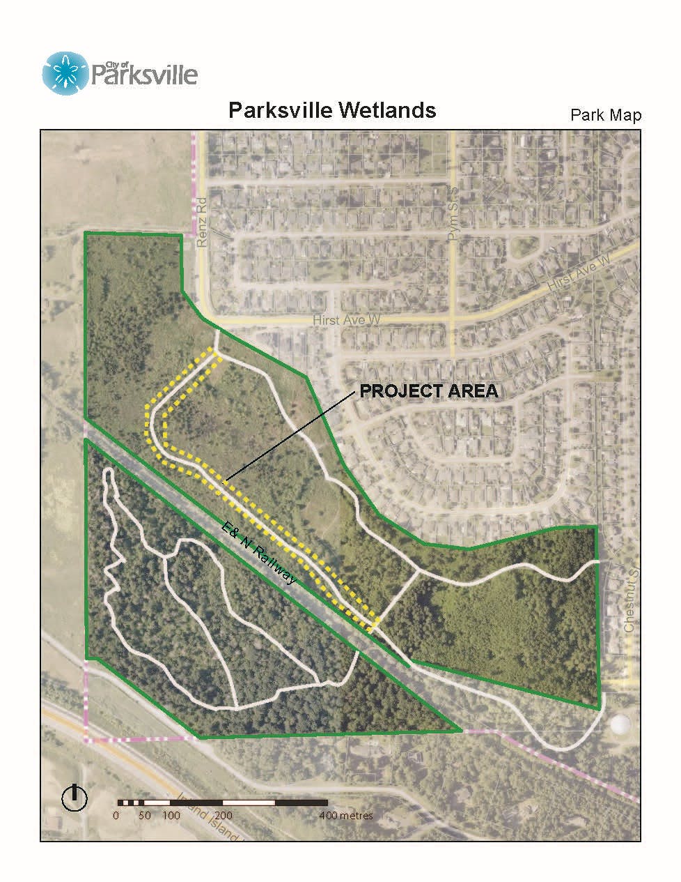
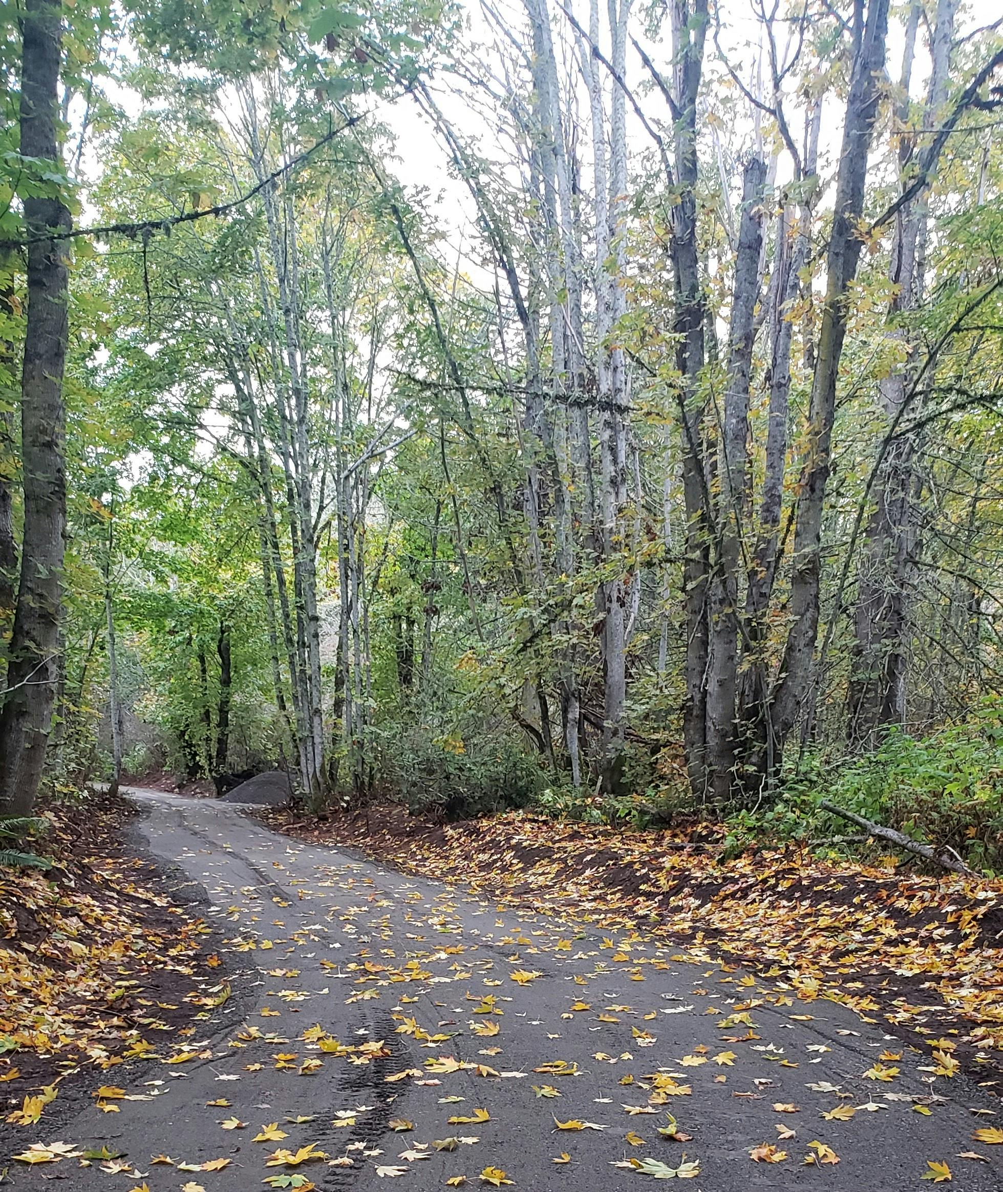
Parksville Wetlands is our largest public park covering 35.27 hectares and features a network of trails which are popular for birdwatching, walking, and quietly enjoying the natural surroundings.
The Parksville Wetlands is largely surrounded by a natural succession forest with a diverse range of wetland plant species, unique marsh birds and amphibians. It acts as a water filtration, flood mitigation and contributes to Parkville’s aquifer. The park has naturalized itself into a wetland over many decades through a combination of naturally existing moisture and soil types, land clearing for development, and diversion of drainage water into the park, all prior to this area falling under the City’s ownership.
Past and more recent information identified areas for improvement with stewardship, conservation, education, and eco-sensitive park visitation.
Background
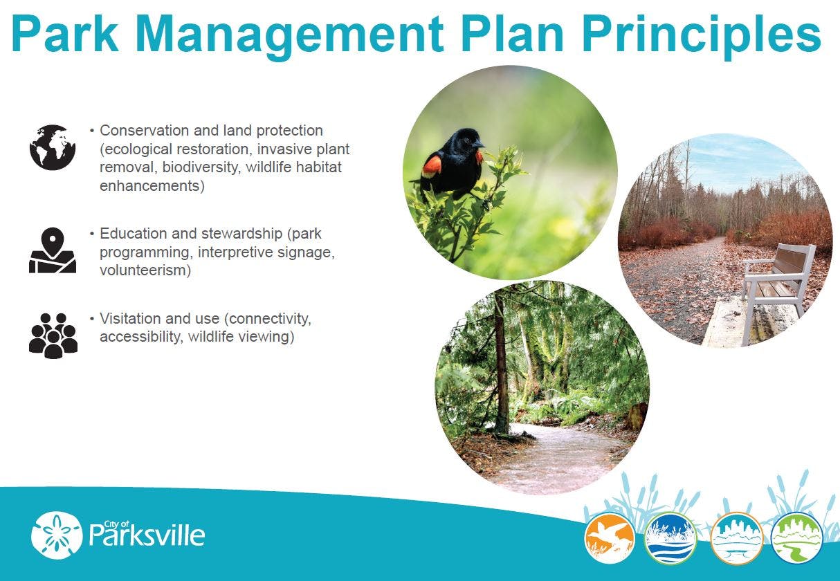
The City has engaged ISL Engineering and Land Services to support the development of a park management plan for the Parksville Wetlands. This fifteen-year, comprehensive plan will provide a vision for the future of the park and identify ongoing park management. The plan will include strategies for educational and stewardship opportunities, strategies for maintenance, increasing conservation and land protection, ecological and cultural management, and accessibility.
The City values and understands the importance of natural spaces for biodiversity, conservation, habitat, and recreation. Stewardship of these spaces is integrated into our Official Community Plan, the Parks, Trails and Open Space Master Plan and once finished, the new Urban Forest Strategy, along with many other studies and reports to preserve and protect green spaces.
Building on the work completed by the City, the plan for the Parksville Wetlands will include habitat improvements responsive to the site analysis, land use mapping and improvements, and will incorporate feedback from the public and interested parties.
The City appreciates and thanks the many individuals, groups and organizations
who have contributed their time and energy to the Parksville Wetlands.

Ask a Question
Do you have a question about the Parksville Wetlands? Please ask us here.
Note: Your question will be public once we have responded. We may respond privately if your question contains personal information. Questions that do not contribute to a safe and respectful space for others, or are unrelated to this topic, will not be answered. Please review our moderation policy.
This new information was presented at the Popup in the Park open house on September 13.

Parksville Wetlands - 790 Hirst Avenue
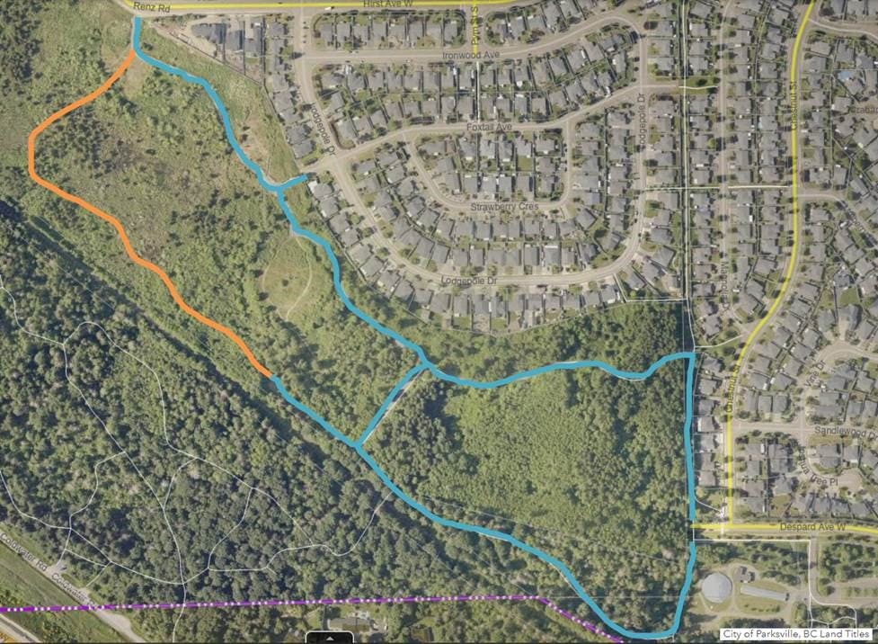
Click image to enlarge
Photos
Custom

Who's Listening
-

Email ggidden@parksville.ca
Thank you for your contribution!
Help us reach out to more people in the community
Share this with family and friends